
As aviation advances toward higher autonomy, multi-sensor fusion, and all-weather operations, relying on GNSS alone is no longer sufficient. Aircraft today face challenges such as signal interference, jamming, high-dynamic maneuvers, and platform vibrations—conditions under which GNSS performance becomes unstable.
High-precision INS (FOG / RLG / Tactical-grade IMU) delivers the robustness required to ensure safe, accurate, and uninterrupted navigation for both manned and unmanned aircraft.
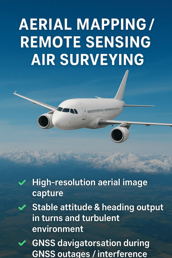
🛩 Airborne Mapping, Surveying & Remote Sensing
For commercial aircraft, UAVs, and high-end mapping platforms, precision motion data is essential for:
🟢 High-resolution aerial imaging
🟢 Stable attitude & heading reference during turns and turbulence
🟢 Continuous navigation under GNSS outages or jamming
🟢 Long-duration autonomous flight missions
INS guarantees consistent image alignment and accurate positioning—especially during dynamic maneuvers or in GNSS-denied areas such as urban canyons or mountainous terrain.
🚁 UAV / UAM / eVTOL Flight Control & Navigation
Next-generation airborne systems require extremely stable navigation inputs for:
✔ High-precision flight control loops
✔ Real-time attitude stabilization
✔ Reliable position & orientation during fast acceleration
✔ Safe autonomous takeoff, landing, and BVLOS operations
Tactical-grade INS provides the backbone for robust autonomy, even when GNSS signals fluctuate or are intentionally disrupted.
✈️ Commercial & Military Aviation
In high-performance aircraft and defense platforms:
✔ INS ensures continuous navigation under GNSS jamming/spoofing
✔ Supports weapons aiming and platform stabilization
✔ Provides accurate dead-reckoning during long-range missions
✔ Enhances situational awareness for pilots and onboard systems
For mission-critical aircraft, high-precision inertial systems are not optional—they are essential.
🌐 A Foundational Technology for the Future of Aviation Autonomy
As the aviation industry moves toward autonomous air mobility, intelligent UAV swarms, and advanced airborne sensing, high-precision inertial navigation is becoming a core enabling technology.
From aerial mapping to UAM, from commercial aviation to defense platforms, INS ensures stable, accurate, and reliable navigation—even when GNSS cannot.

Add comment