
As rail networks move toward Digital Twins and Smart Maintenance, high-accuracy 3D data has become essential for track safety, structural monitoring, and predictive maintenance.
The most reliable solution today is INS (Inertial Navigation System) + LiDAR fusion.
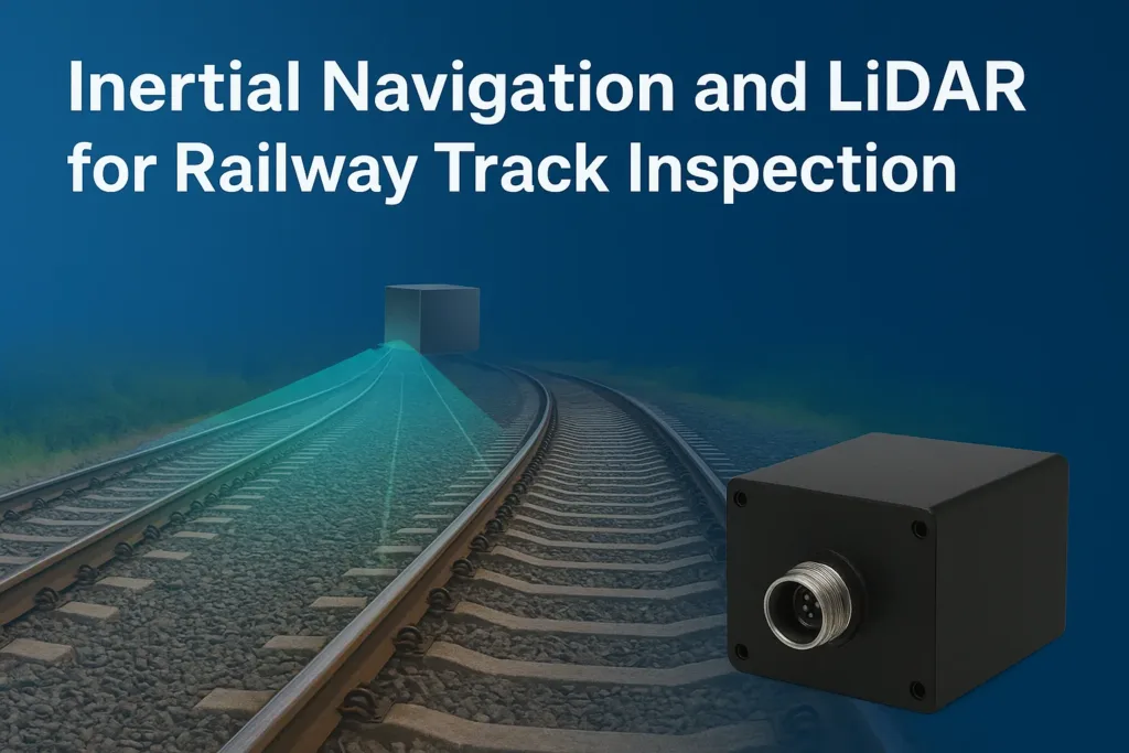
🔍 Why INS–LiDAR Fusion Matters
INS Delivers Stable Motion Data
INS outputs continuous:
✔️ Roll / Pitch / Heading
✔️ Angular rates & accelerations
✔️ Reliable performance under vibration & GNSS degradation
This keeps point clouds stable and free from distortion.
LiDAR Captures Dense 3D Geometry
LiDAR maps:
✔️ Rail profiles
✔️ Sleepers & fasteners
✔️ Ballast surfaces
✔️ Tunnels & platforms
INS provides the orientation reference, ensuring all LiDAR points remain accurately aligned.
⭐ Why Fusion Is Essential
Without INS:
❌ Tilted scans
❌ Drift over long distances
❌ Misalignment in curves
With INS + LiDAR:
✔️ Accurate curvature reconstruction
✔️ High-speed stability
✔️ Engineering-grade 3D point clouds
✔️ Reliable performance in tunnels and GNSS-challenged zones
🚆 Key Application Scenarios
- High-speed rail inspection vehicles
- Metro digital twin modeling
- Track geometry & gauge measurement
- Under-carriage scanning systems
- Autonomous inspection robots
✅ Conclusion
INS–LiDAR fusion is rapidly becoming the global standard for railway 3D mapping.
It delivers stable, precise, and high-density data—enabling smarter maintenance and accelerating the digital transformation of railway infrastructure.

Add comment